Rockhampton sits on the Fitzroy River floodplain, where deep alluvial sediments interact with underlying basalt bedrock. This geological contrast creates a natural setting for resonance phenomena. The HVSR microtremor survey measures ambient vibrations to identify the fundamental frequency of the soil column — critical data for seismic design in this region. Unlike active-source methods, the Nakamura technique requires no artificial energy input, making it ideal for urban sites across Rockhampton where background noise is minimal. We deploy this method early in the geotechnical investigation phase to map variability in sediment thickness and stiffness before committing to deeper testing. Complementing this with a resistivity survey helps delineate the bedrock profile, while [MASW profiling](/masw-vs30/) provides shear-wave velocity correlations for the same stratigraphy.
A resonant peak above 10 Hz typically indicates shallow bedrock — critical for foundation design in Rockhampton's alluvial context.
Scope of work
Area-specific notes
A common mistake in Rockhampton projects is assuming uniform sediment thickness across the floodplain. The Fitzroy channel has migrated over time, leaving buried palaeochannels and variable bedrock depth. Without an HVSR microtremor survey, engineers risk designing foundations that either under-predict or over-predict resonance. A structure built on a 12-metre alluvial sequence behaves very differently from one on a 5-metre sequence. The Nakamura method catches that variability early. Ignoring it can lead to unexpected differential settlement or seismic amplification that no structural fix can easily correct after construction.
Standards used
AS 1726 – Geotechnical site investigations, AS 1170.4 – Earthquake actions (site class assessment), SESAME Guidelines (European Research Project WP02)
Linked services
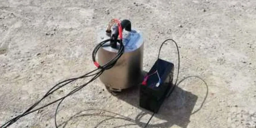
Single-station HVSR survey
Rapid assessment at one location to determine fundamental frequency and amplification factor. Suitable for small residential or commercial lots where a quick site-class check is needed.
Multi-station HVSR array
Deployment of 5 to 15 stations across a site to map lateral variability of sediment thickness. Ideal for subdivisions, road corridors, and bridge approaches in Rockhampton.
HVSR combined with MASW
Integrated survey that correlates H/V spectral peaks with shear-wave velocity profiles. Provides a more complete picture of site response for performance-based seismic design.
Typical parameters
FAQ
What is the HVSR microtremor survey (Nakamura method)?
It is a passive seismic technique that measures ambient ground vibrations to determine the fundamental resonance frequency of a soil column. The method uses the H/V spectral ratio to identify how the ground will amplify seismic waves at specific frequencies.
How much does an HVSR microtremor survey cost in Rockhampton?
The typical cost ranges from AU$2,000 to AU$3,930 depending on the number of stations, site accessibility, and reporting requirements. This includes field acquisition, processing, and a written interpretation.
What site conditions affect the HVSR results in Rockhampton?
The Fitzroy River floodplain creates strong impedance contrasts between soft alluvium and basalt bedrock. Shallow water tables can dampen the H/V peak, while nearby traffic or industrial machinery may introduce unwanted noise that requires longer recording windows. The method works well even in moderately noisy urban settings.
How is the HVSR survey used for seismic design?
The fundamental frequency (f0) derived from the H/V ratio directly classifies the site per AS 1170.4. A low f0 (below 1 Hz) indicates deep soft soil and a higher amplification potential. Engineers use this data to select appropriate response spectra and to design foundations that avoid resonance with the structure's natural frequency.
Can HVSR replace boreholes for site characterisation?
No. HVSR provides the frequency-domain response but does not give direct stratigraphy or soil strength parameters. It is best used as a screening tool to optimise borehole placement, reducing the number of required holes while still capturing lateral variability across the site.