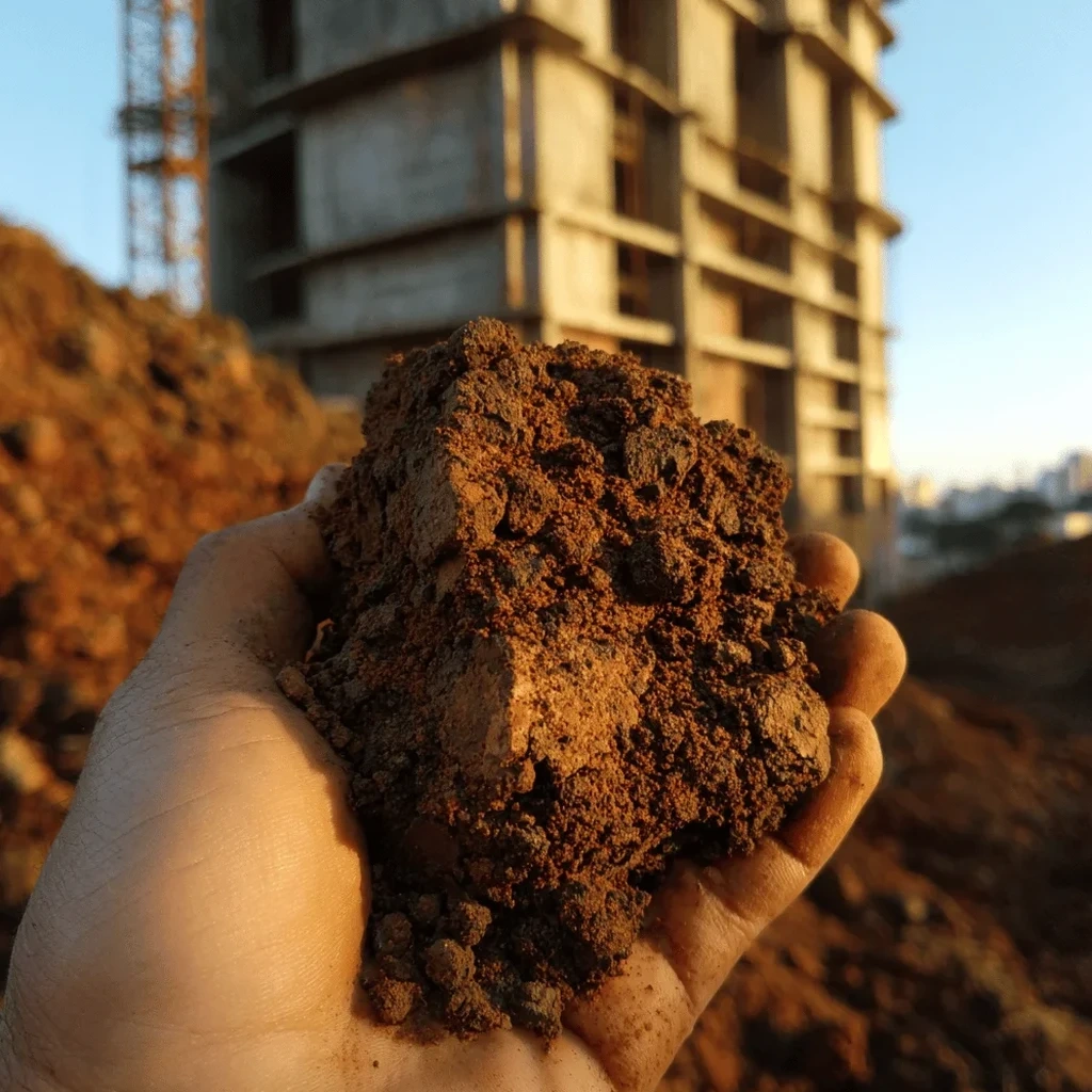
Rockhampton grew steadily as a regional hub after the railway reached the Fitzroy River in the 1880s, and that expansion pushed development onto the rolling hills and alluvial flats that define the city today. Beneath the topsoil, much of central Queensland is mantled by residual soils formed in situ from the weathering of sedimentary and volcanic parent rock. These profiles are notoriously variable in thickness and mineralogy, so a reliable residual soil characterization becomes essential before any slab, footing, or retaining wall gets designed. In our experience, the transition from competent rock to fully weathered material can happen within a few meters, and without proper testing you risk underestimating settlement or overestimating bearing capacity. That is why we couple field logging with laboratory index tests and, when the profile demands it, a borehole SPT to capture strength variations across the weathered zone.
Seasonal moisture swings in Rockhampton's residual clays drive volume changes that can crack slabs or lift footings if left uncharacterized.
Scope of work
Area-specific notes
The contrast between Rockhampton's wet summers and bone-dry winters creates a cyclic shrink-swell regime that can crack slabs and lift lightly loaded footings within two years of construction. Residual soils in the Berserker Range foothills often contain smectitic clays that change volume by more than 10 %, and the depth of the active zone can reach 2.5 m after a prolonged dry spell. Ignoring this behavior leads to differential movement that insurance claims rarely cover. A proper characterization identifies the depth of seasonal moisture change and quantifies the expansion potential, so the design can incorporate controlled fill, moisture barriers, or deeper founding levels before concrete is poured.
Standards used
AS 1289.3.2.1 – Plasticity Index determination, AS 1289.6.3.1 – Standard compaction and CBR, AS 1726 – Geotechnical site investigation, AS 2870 – Residential slabs and footings (expansive soil classification)
Linked services
Field Logging & Sampling
Shallow test pits and hand auger boreholes logged by a geotechnical engineer. Disturbed and undisturbed samples collected at 0.5 m intervals for laboratory classification.
Expansive Soil Classification
Atterberg limits, linear shrinkage, and free-swell tests performed in our NATA-accredited lab. Results classified per AS 2870 reactivity categories (S, M, H1, H2, E).
Strength & Compressibility Testing
Unconfined compression, triaxial (UU), and oedometer tests on undisturbed specimens. Data used for bearing capacity and settlement estimates in weathered profiles.
Typical parameters
FAQ
How is residual soil different from transported soil in Rockhampton?
Residual soil forms directly from the weathering of underlying bedrock and retains the parent rock's fabric and mineralogy. In Rockhampton, transported soils are limited to recent alluvium along the Fitzroy River, while most hillside sites sit on residual profiles that are highly variable in depth and clay type.
What does a residual soil characterization cost in Rockhampton?
A standard characterization covering field logging, classification tests, and a basic strength report typically ranges between AU$1,170 and AU$4,900 depending on the number of samples and test types. Complex sites with deep weathering or high-plasticity clays fall at the upper end of that range.
When is a full characterization required instead of a visual classification?
A full characterization is needed when the design relies on quantified parameters such as plasticity index, shrinkage, or undrained shear strength. Visual classification alone cannot predict volume change or bearing capacity, and it will not satisfy an engineer's due diligence under AS 1726.