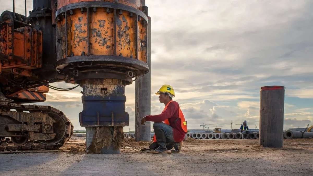
Rockhampton sits on the floodplain of the Fitzroy River at an elevation of just 11 m above sea level, with a subtropical climate that brings over 800 mm of rain annually. The underlying geology is dominated by Quaternary alluvium and Tertiary basalt, creating a highly variable velocity profile in the upper 30 m. For any structure requiring seismic compliance under AS/NZS 1170.4, knowing the VS30 is not optional — it determines the site class and therefore the design acceleration. We have run MASW surveys across Rockhampton from the airport to the Riverside precinct, and the contrast between stiff basalt layers and soft clay pockets always demands careful array design. Before starting the survey we often cross-check with a presurometer test to calibrate the shear modulus at depth, ensuring the inversion model matches real modulus values.
The VS30 contrast between Rockhampton's basalt foothills and river flats can exceed 300 m/s, shifting the seismic site class from B to D within one kilometre.
Scope of work
Area-specific notes
What we see most often in Rockhampton is that a single SPT borehole is assumed to represent the entire site. But the alluvial channels under the city are laterally discontinuous — a stiff clay lens can pinch out within 10 m. Relying solely on point measurements misses the velocity layering that controls seismic wave amplification. The real risk is assigning site class D when a hidden basalt ridge at 12 m depth produces class C, or the opposite: soft pockets that amplify motion beyond the code's envelope. We have seen this mismatch cause unnecessary over‑design of foundations on the one hand, and under‑designed ductility detailing on the other. A MASW profile across the full site footprint catches these lateral variations before the structural engineer locks in the seismic parameters.
Standards used
AS 1289 – Standard Test Methods for Crosshole Seismic Testing, AS/NZS 1170.4:2007 – Structural Design Actions, Part 4: Earthquake Actions, NEHRP Recommended Provisions (FEMA P-1050) – Seismic Site Classification, AS 1726:2017 – Geotechnical Site Investigations
Linked services
Standard MASW Survey (1‑D profile)
Single 48 m array with 24 geophones, hammer source, and inversion to 30 m depth. Output includes VS30 value, site class per AS/NZS 1170.4, and a 1‑D velocity profile. Suitable for residential, low‑rise commercial, and subdivision projects where the footprint is under 0.5 ha.
Multi‑line MASW (2‑D velocity section)
Three to five parallel lines covering the site width, using a weight‑drop source to reach 35 m. The result is a contour map of shear wave velocity across the site, ideal for detecting buried basalt ridges, paleochannels, and soft zones that affect foundation design. Typically specified for schools, hospitals, and medium‑rise buildings in Rockhampton.
MASW + DMT / Presurometer Combo
Combined geophysical and in‑situ stiffness testing: MASW provides the VS30 profile, while DMT or presurometer tests deliver direct modulus and lateral stress values at selected depths. This is our recommendation for projects on the river flats where soft soils require Improvement — the geophysics maps the extent and the direct tests provide design parameters for settlement and bearing capacity.
Typical parameters
FAQ
What is the difference between MASW and a standard SPT borehole for seismic site classification?
An SPT borehole gives you blow counts at discrete depths, from which you can estimate shear wave velocity using empirical correlations — but those correlations have significant uncertainty, especially in the mixed alluvial soils of Rockhampton. MASW measures the actual Rayleigh wave propagation across a 48 m array, producing a continuous velocity profile. The VS30 calculated from MASW is directly used in the site class assignment per AS/NZS 1170.4, without the scatter of blow‑count conversions. For critical structures we still recommend one SPT borehole for soil classification and groundwater, but the site class should come from MASW.
How deep can MASW penetrate in Rockhampton's alluvial soils?
In the stiff basalt‐derived clays near Mount Archer we typically reach 30 m with a 10 kg hammer. On the river flats where soft clay and silt extend to 15 m, the signal attenuates faster and the effective depth drops to about 25 m. If the target depth is 30 m in soft ground, we switch to a 40 kg weight drop or a vibroseis source. The array length is always adjusted to maintain a depth/distance ratio of at least 1:1.5.
What site classes are most common in Rockhampton?
Based on the MASW surveys we have completed across the city, the typical site classes are C (very dense soil / soft rock) on the basalt slopes and elevated areas, and D (stiff soil) on the alluvial flats along the Fitzroy River. Class B (rock) is rare and only found where basalt outcrops at surface, for example at the Stockland shopping centre site. Class E (soft soil) occurs in localized pockets near the riverbank where recent silt deposits exceed 10 m thickness — these require special dynamic analysis beyond the simplified code procedure.
How much does a MASW / VS30 survey in Rockhampton cost?
For a standard single‑line MASW survey covering one site class determination, the cost typically ranges between AU$2,250 and AU$4,720, depending on site access, source requirements, and whether the array needs to be relocated for multi‑line coverage. A multi‑line 2‑D survey covering a 1 ha site usually falls in the upper half of that range. The price includes field work, inversion processing, and a report with VS30 value and site class per AS/NZS 1170.4.